On my third attempt I reached my goal for this autumn-to
overnight on a high mountain in the Malá Fatra Mountains.
I speak about Stoh Peak (1607 m). There are even
higher summits in the mountain range, but this one is special one. It has a
form of a pyramid, on each side it is separated with deep saddles from other
peaks and offers perfect view in every direction.
For a hiker it presents a real obstacle, often
difficult to overcome. It rises 400 vertical meters from saddles on either
side. Trails are steep and often muddy, especially parts leading through
mountain forest of spruce and rowan. For those who want to avoid climbing up
and down again, there is an option of a traverse, which is even muddier than a
route via the top. There is no other way around, except returning back from
where a hiker arrives at its base.
The top itself is flat as a football ground and offers
a good place for a bivouac.
Last year in October I failed to bivouac on the summit
of Stoh Peak due to windy conditions and a cloud cap around the top.
This year in October the scenario repeated itself.
On first weekend in November I took a last chance in
this year to accomplish my plan. Although I knew that the height of autumn
colours is already gone, there were chances to capture perfect weather
conditions with great views under clear skies.
As usually, I arrived at the foothills on Friday
evening, and had a couple of beers at my favourite place. Afterward I
bivouacked in my secret place in a forest nearby.
In the morning I was quite lazy and started my hike relatively
late. To make up time, I decided to have a breakfast later at Prislop pass,
from where I wanted to enter on a lateral ridge, leading toward the main ridge.
I was happy that the air was clear and offered great
view on snowy peaks, which were rising from the head of Vrátna dolina.
Snowy crest of the Malá Fatra Mountains in early November. I call this range "Sierra Nevada".
Tiesňavy gorge, in morning light, through which a road passes. This is the only access to Vrátna dolina for vehicles.
Velký Rozsutezc Peak seen from Prislop.
North part of the Malá Fatra crest, seen from Prislop.
Cirrus clouds above Prislop.
After ascend to Prislop pass, I sat down and prepared
my breakfast on a MSR stove. It took me about 30 minutes to prepare and finish
the meal and with some delay I started to climb toward first summit Baraniarky (1270 m).
Mountains (the Beskydy Mountains)in Czechia, seen from Slovakia (in the last plan). In central plan is Ladonhora.
Central part of the crest.
Looking south.
Atop Baraniarky.
Looking in the direction of Žilina.
Looking toward Kraviarske and the main crest.
Foggy valley and the Beskydy Mountains on the horizon.
Looking at Velká Rača in the Kysucké Beskydy Mountains.
Cloud is building on Velký Rozsutetz Peak.
Velký Rozsutetz and Stoh peaks.
Autumn aspect in the carpathian beech forest.
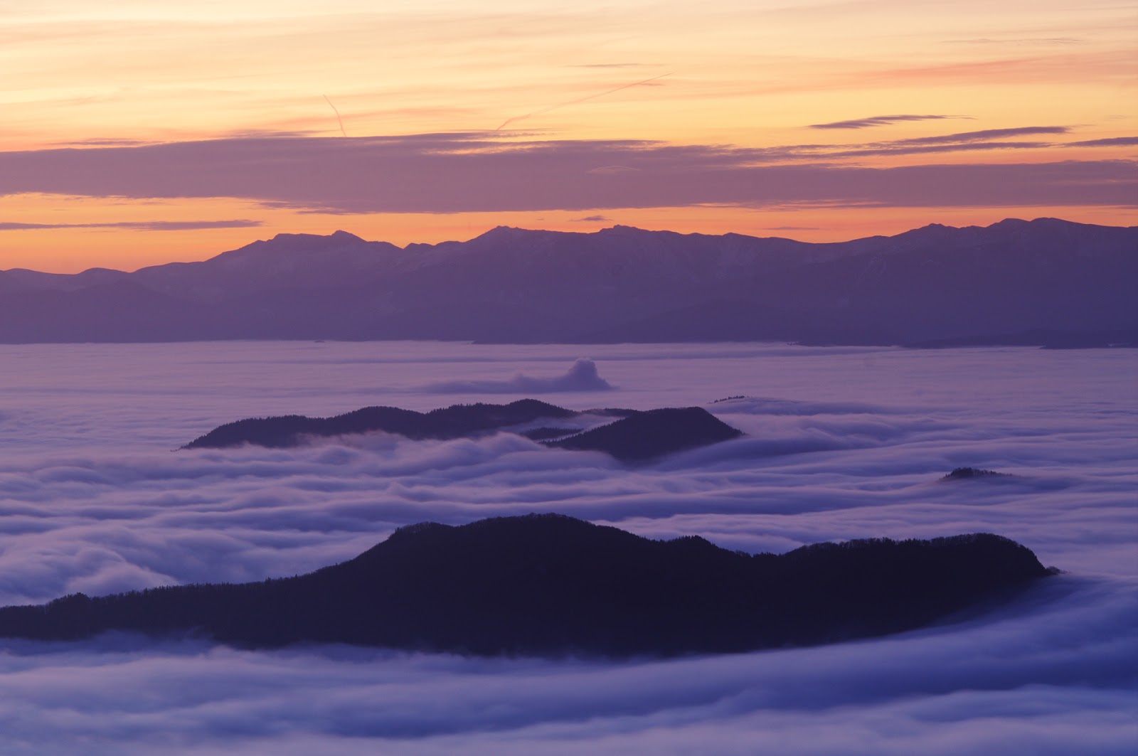
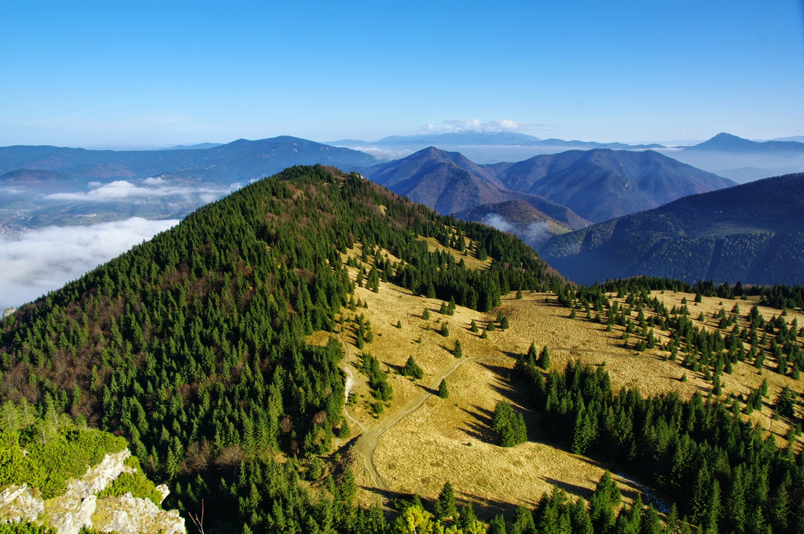
From there I had incredible views! Valleys were
covered with fog layer and it looked like as if the mountain were islands in
the sea. I could even see mountains in Czechia.
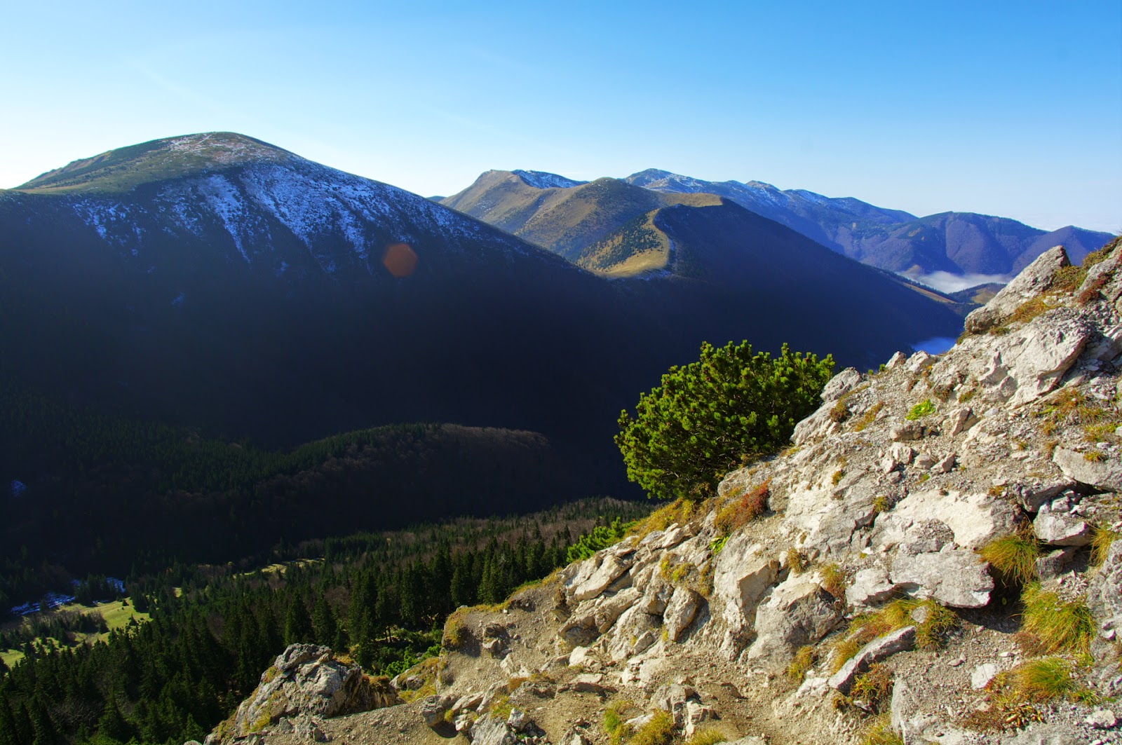
On the other side I saw snowy main ridge, needless to
say that snow lay on shadowed slopes only. Slopes exposed to direct sun rays
were dry, of course.
Looking back at Baraniarky.
There is not much to say about this part of the trip.
I traversed three peaks and two saddles, until I got in the saddle at the foot
of the main ridge. In the meantime, a cloud formed above the main ridge, thus
deteriorating weather conditions there.
Looking down to Vrátna dolina.
A cloud cap builds up on V. Rozsutetz Peak.
On lateral ridge was t-shirt weather and when I got
close to the cloud I had to put a jacket on me.
On snow covered slopes.
A cloud layer laying on the principal crest.
Looking back from where I came.
Clouds above the main crest.
On snow covered slopes.
A cloud layer laying on the principal crest.
Looking back from where I came.
Clouds above the main crest.
I knew I would have problem to find water on the
crest. There were no natural springs in this area, and the only human facility,
a restaurant, from where I could obtain water, was closed due to damage, caused
by this summer flash flood.
Well, I thought, I will found water at the base of
Stoh Peak. So I was not worried about this. Instead of it I enjoyed unusual
meteorological conditions and played with my camera to make some nice pictures.
I traversed peaks Hromové a Steny, from where the
flash flood came down, thus destroying human facilities en route.
Velký Rozsutetz and Stoh peaks with cloud caps-I.
Velký Rozsutetz and Stoh peaks with cloud caps-II.
The lateral ridge where I was walking today.
On the crest.
Prislop pass. The Beskydy Mountains in Cehia in last plan.
Stoh Peak wit cloud cap. I can only imagine this cloud cap glowing red at sunset light!
Velký Rozsutetz and Stoh peaks with cloud caps-II.
The lateral ridge where I was walking today.
On the crest.
Prislop pass. The Beskydy Mountains in Cehia in last plan.
Stoh Peak wit cloud cap. I can only imagine this cloud cap glowing red at sunset light!
It was almost dark when I arrived at a saddle beneath
Stoh Peak. I gambled to find water here. So I walked briskly down through
tall grasses. In several minutes I saw a dark spot on the right side of the
valley. When I approached it, I saw that I got on a margin of a small lake. I
pulled out a torch from a rucksack, and in its light I saw that water in the
lake was clear. It was a relief for me, because it solved my situation with
lack of water. It took me 6 minutes to get back to the saddle, so the water was
pretty close from there.
Meanwhile, I saw some people going down from the
summit of Stoh Peak. They said that this trail is very muddy, and a look at
their dirty boots and trousers only confirmed it.
Steep and muddy trail was the only obstacle en route
to the mountain top, though my quite heavy rucksack with 3 litres of water in
plus did not make my situation easier.
My trekking poles helped me to keep balance on
slippery path and in the end I arrived at the top. There I spent about 20
minutes in search for a place to set up my tent. It was windier then I expected
it would be. Eventually I build my tent next to a dwarf pine grove a little way
down from the top.
I prepared my dinner inside my tent, because outside
was quite windy and cold.
A night atop a mountain.
A night atop a mountain.
At 2100 o’clock I ventured out to make some night
photography. It was five days before full moon, so the moonlight was strong and
helped me much in my pursuit for a perfect frame.
Velký Rozsutetz with well known constellations above it.
Looking South.
Looking East.
Remnants of first snow.
Looking South.
Velký Rozsutetz.
Velký Rozsutetz with well known constellations above it.
Looking South.
Looking East.
Remnants of first snow.
Looking South.
Velký Rozsutetz.
I made some fine pictures in each direction and
settled on an idea to make a star trail image. Well, it was impossible to do,
because of humid air. My lens got fogged within a minute of being exposed to
this moisture. I could make a 30-second exposure, for example, but I could not
make ninety-nine 30-second exposures in a row, without getting my lens foggy. I
could not dare to touch the camera to clean its lens in the course of making 99
exposures, without changing its position a little by accident. So I abandoned
that idea of a star trail image. I still have this pre-visualized image in my
mind for the next time. At least I took a single frame showing Big Dipper and
Little Dipper constellation hanging in the sky just above Rozsutetz Peak (1910
m). My photo séance took about 40 minutes. After that I crawled in my sleeping
bag to get warm. I set up my alarm clock to wake me up at 530 o’clock.
Waking up in semi darkness, I drunk a little of water
heated on my stove. After that I stepped outside. For a November morning it weren't cold,
it was just above freezing point.
Velký Choč.
Low Tatra.
High Tatra.
Velká Fatra.
Low Tatra.
Velký Choč.
Velký Choč.
Velký Choč.
Low Tatra.
High Tatra.
Velká Fatra.
Low Tatra.
Velký Choč.
Velký Choč.
I expected to be alone atop a remote mountain top. It
wasn’t so. Soon I heard voices and a group of hikers arrived at the top. There
were about ten people in two groups. They told me that they left city of Žilina
at about 4 o’clock, and climbed up from Štefanová. They also asked me to take
some pictures of them with their smart phone.
Admiring sunrise.
Sunrise!
Velký Rozsutetz.
Going down from Stoh.
Osnica Peak.
Velký Rozsutetz Peak.
Sunrise!
Velký Rozsutetz.
Going down from Stoh.
Osnica Peak.
Velký Rozsutetz Peak.
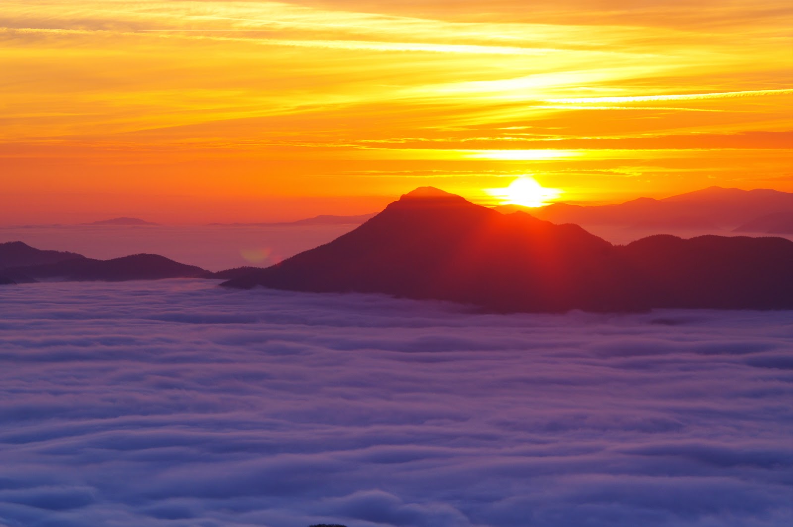
The light was perfect; we were above a sea of clouds.
I took many images there, pointing my camera in every direction. Pictures
describe it far better than any words, so keep looking at the images.
Above sea of clouds.
The Specter of the Brocken seen from Stoh Peak.
Osnica Peak.¨
Velký Rozsutetz Peak.
Above sea of clouds.
The Specter of the Brocken seen from Stoh Peak.
Osnica Peak.¨
Velký Rozsutetz Peak.
After morning photo shoot I packed my equipment a
started to descend. I left the summit around 800 o’clock. In Medziholie saddle
I made and ate a breakfast and started to ascend Rozsutetz Peak (1610 m). Views from
there were incredible and I thought, next time I would overnight here.
Mountains were floating above the sea of clouds and
the air was warm.
Looking from Velký Rozsutetz.
Looking from Velký Rozsutetz.
Looking from Velký Rozsutetz.
Looking down from Velký Rozsutetz.
Looking South from Velký Rozsutetz.
Looking East from Velký Rozsutetz.
Looking from Velký Rozsutetz.
Looking South from Velký Rozsutetz.
Looking South-East from Velký Rozsutetz at Stoh Peak.
Looking from Velký Rozsutetz.
Looking down from Velký Rozsutetz.
The top of Velký Rozsutetz.
Looking down from Velký Rozsutetz.
Looking down from Velký Rozsutetz.
After that I descended to Medzirozsutce saddle and
gambled on an idea to climb Malý Rozsutetz Peak (1343 m). My timing was not
perfect; I was late to get home before midnight. Well, in this perfect weather
conditions the summit should not be omitted. So I climbed there!
In my opinion a view from the summit of this lesser
peak is better than from its higher neighbour.
Looking East from Malý Rozsutetz.
Looking South-West from Malý Rozsutetz.
Looking down from Malý Rozsutetz.
Looking South from Malý Rozsutetz.
Looking East from Malý Rozsutetz.
Looking South-West from Malý Rozsutetz.
Looking down from Malý Rozsutetz.
Looking South from Malý Rozsutetz.
Looking down from it's summit I realized that as soon
as I descend in Tesná Rizna gorge I get into fog layer.
Beech forest in fog.
Beech forest in fog.
Beech forest in fog.
Beech forest in fog.
Beech forest in fog.
Beech forest in fog.
Beech forest in fog.
Beech forest in fog.
Beech forest in fog.
Beech forest in fog.
Beech forest in fog.
So, good bye, warm sun, we will meet again next spring!
This is the disadvantage of living at 49° north latitude. Soon the warm autumn
days will be gone and the sun disappears in clouds for a period of about two
months. It will start to reappear in February, though first really warm rays
from the sun will arrive at the end of March.


